


Precise Data
Less Time Consuming
Cost Effective
Increased Safety
Strong Domain
Data Analytics

+91 9665828649
hr.amdl2024@gmail.com
Mon-Sat 9:30am-6:30pm
AM DATA LAB PVT LTD is a family owned and operated, incorporated company
operating in Pune,since 2020.
We automate manual processes to make your operations and maintenance tasks efficient, expedient and
economical.
We are working with Qualified Civil Engineer and Skilled Surveyor.Last five year, we are working on
infrastructure project & Irrigation project by using advances technology also successfully completed all
projects,
All project completed within Time Frame and providing 100% accuracy in project.
Sure, definite steps towards success
Year we were founded
Projects delivered
Verticals we serve
Satisfied Customers
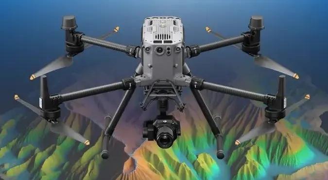
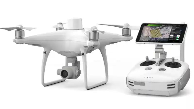
We offer a high-quality Lidar Drone,MagDrone,Multibeam Bathymetry,Drone Videography,3D Printing,Underwater Drone Survey,Hydraulic Dredging Technologies to our customers all around the India. Our personal assistance is available 24/7.
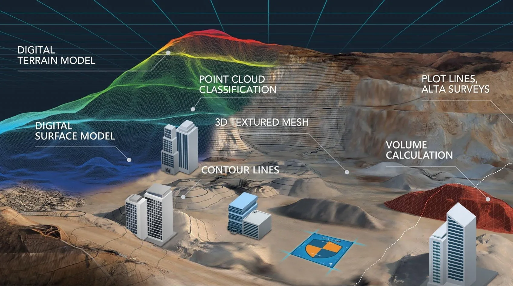


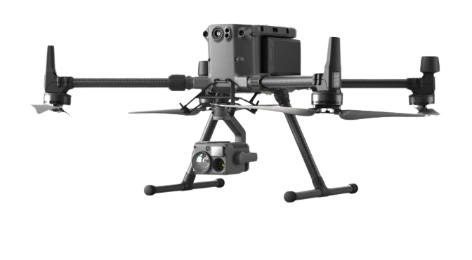

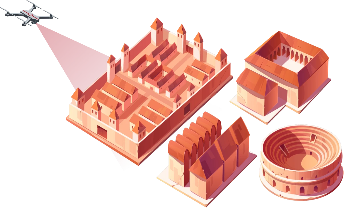
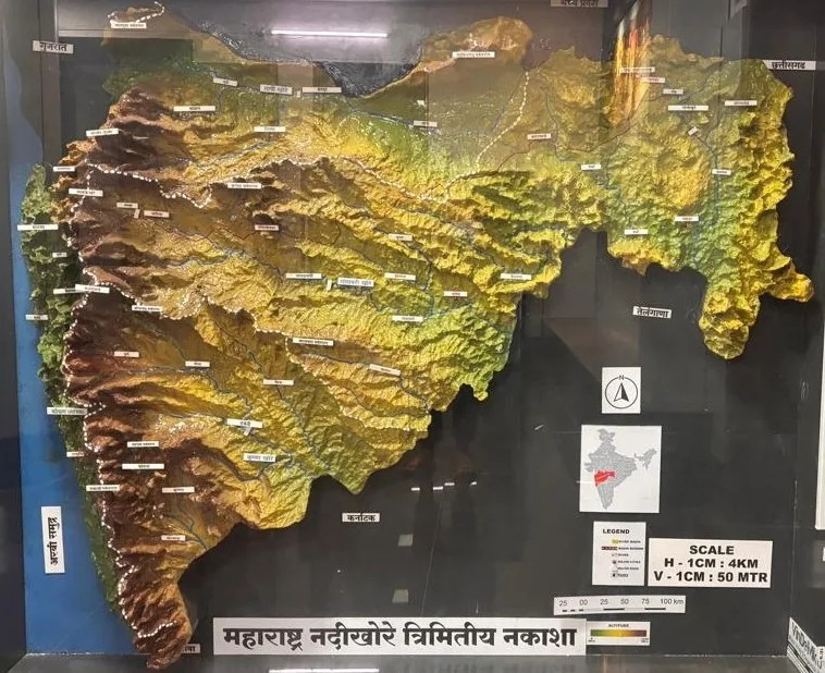
 LiDAR (Light Detection and Ranging)
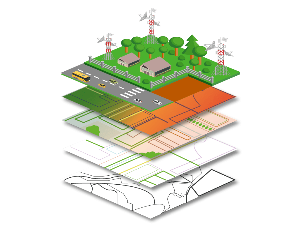
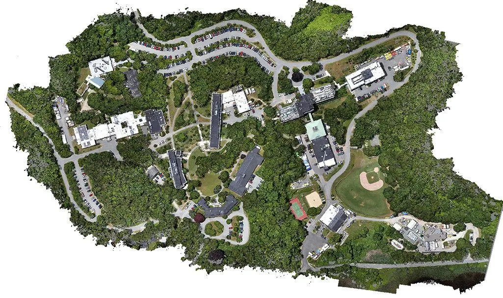
AM Data Lab Pvt Ltd specializes in LiDAR data acquisition, mapping, processing, and
feature extraction.
This technique is used as topographic mapping,
Using advanced methodologies, we create detailed 3D digital twins of real-world environments,
reducing site visits,
saving time, and minimizing safety risks.
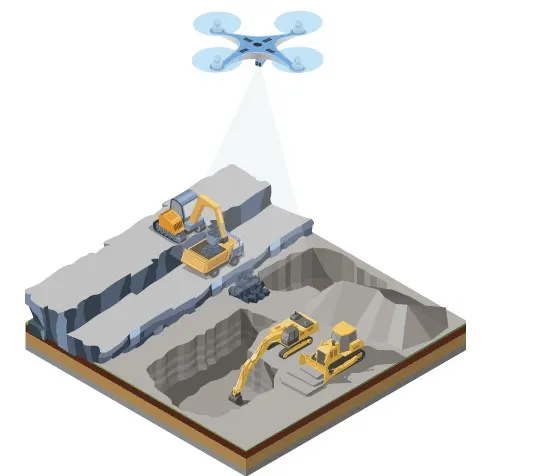
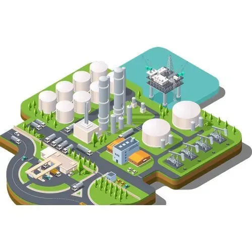
We serve industries like transportation, utilities, energy, telecommunications, mining, and
engineering.
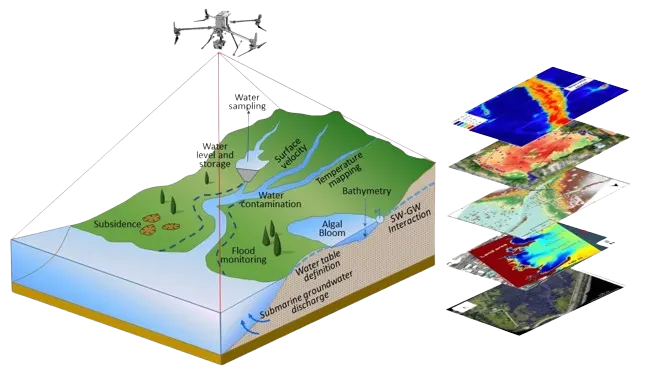
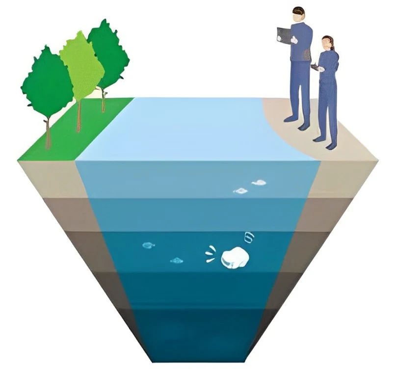
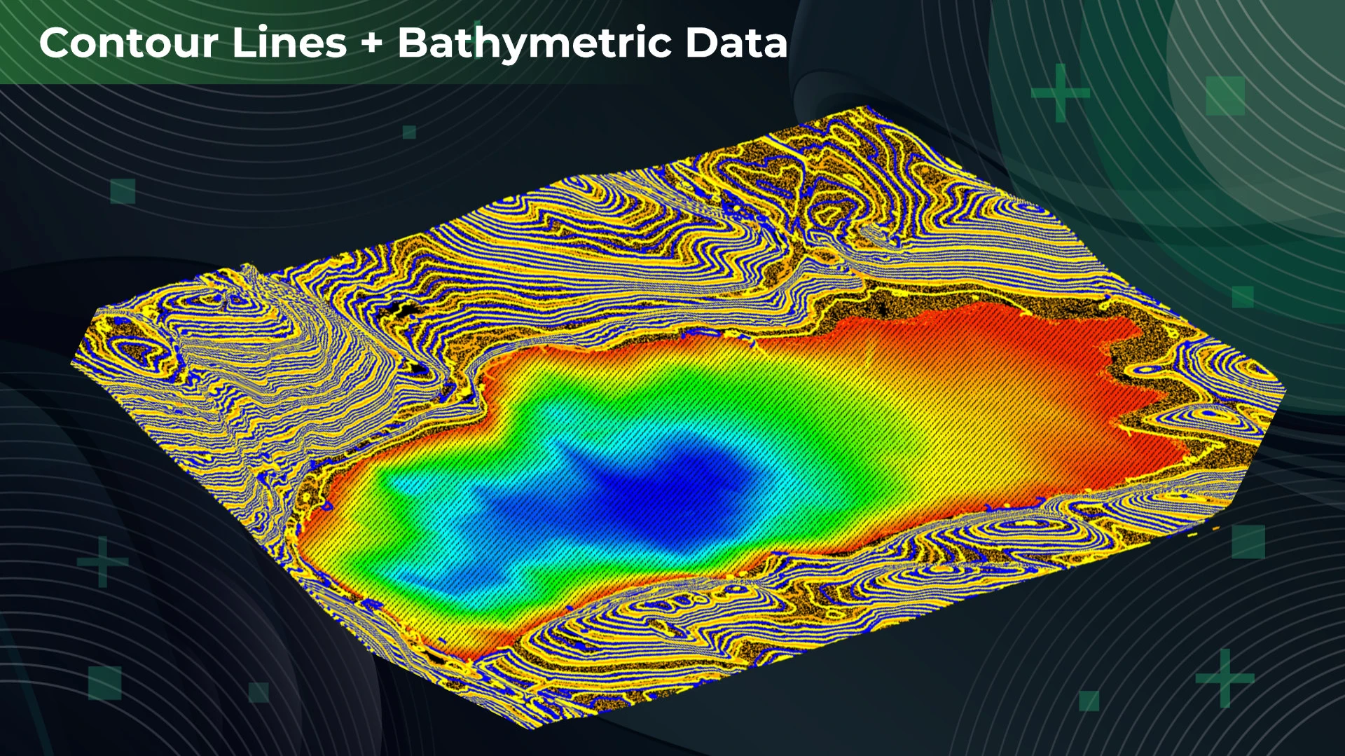
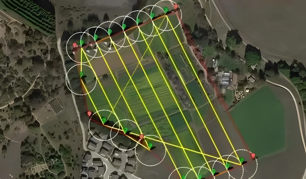
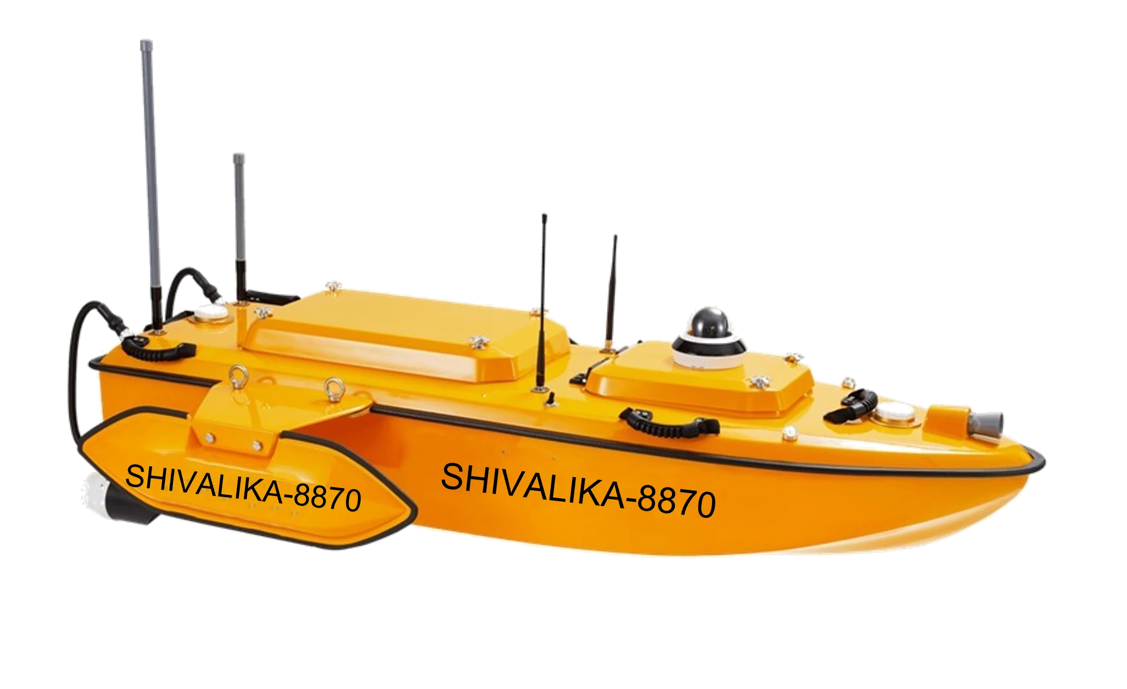
AM Data Lab Pvt Ltd delivers precise data and tailored solutions for managing water-related projects. We provide training and tools for effective dataset utilization
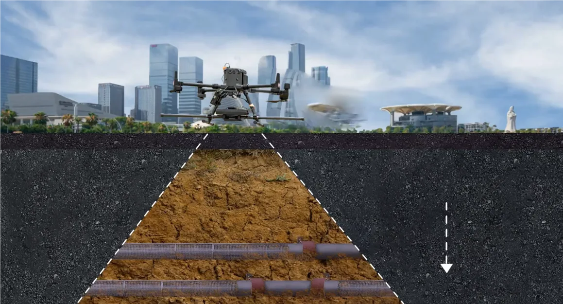
Magnetometer: AM Data Lab Pvt Ltd leverages electromagnetic (EM) technology for precise subsurface investigations. EM surveys detect variations in conductivity to identify anomalies caused by fluids, metals, or other factors, making it ideal for pipeline break assessments. Unlike resistivity methods, EM surveys require no ground contact, ensuring rapid and reliable results.
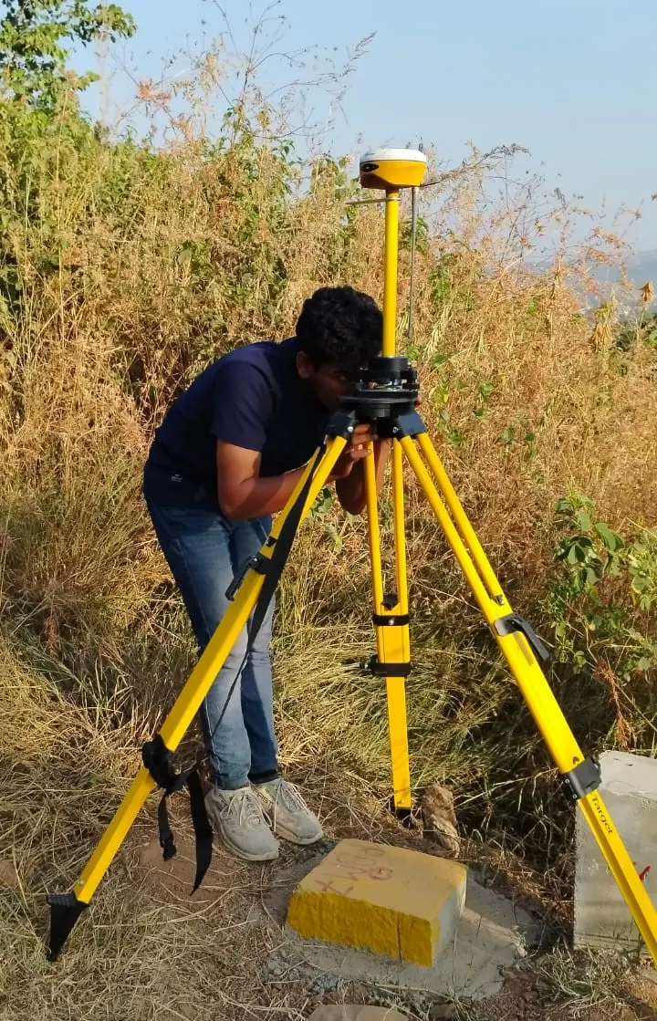
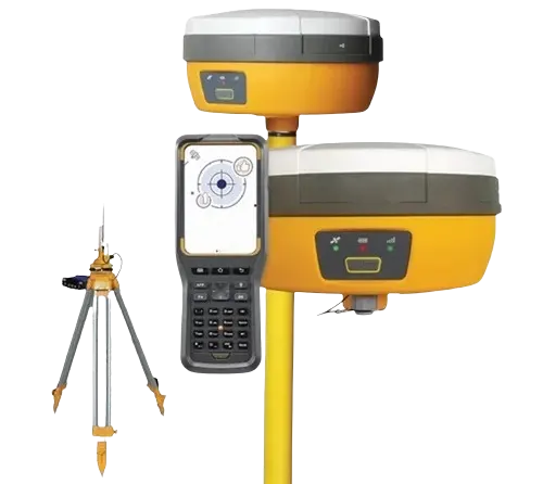
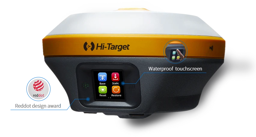
DGPS(Differential Global Positioning System).
AM Data Lab Pvt Ltd utilizes Differential GPS (DGPS) technology for high-precision geospatial data
collection.
DGPS corrects GPS signal errors, delivering centimeter-level accuracy for mapping, surveying, and
engineering projects.
 RTK(Real-Time Kinematic)
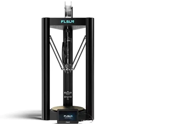
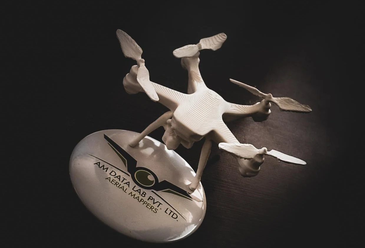
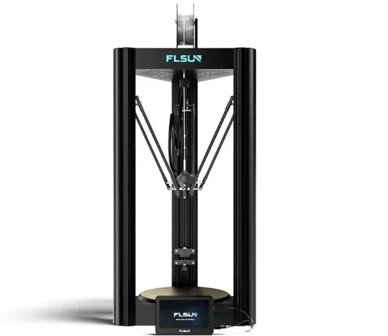
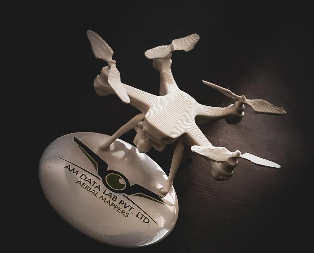
AM Data Lab Pvt Ltd leverages 3D printing technology to create three-dimensional objects layer by
layer from digital models.
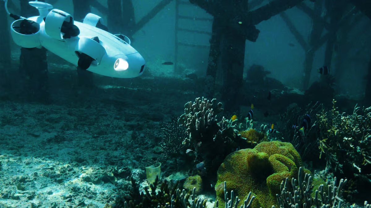
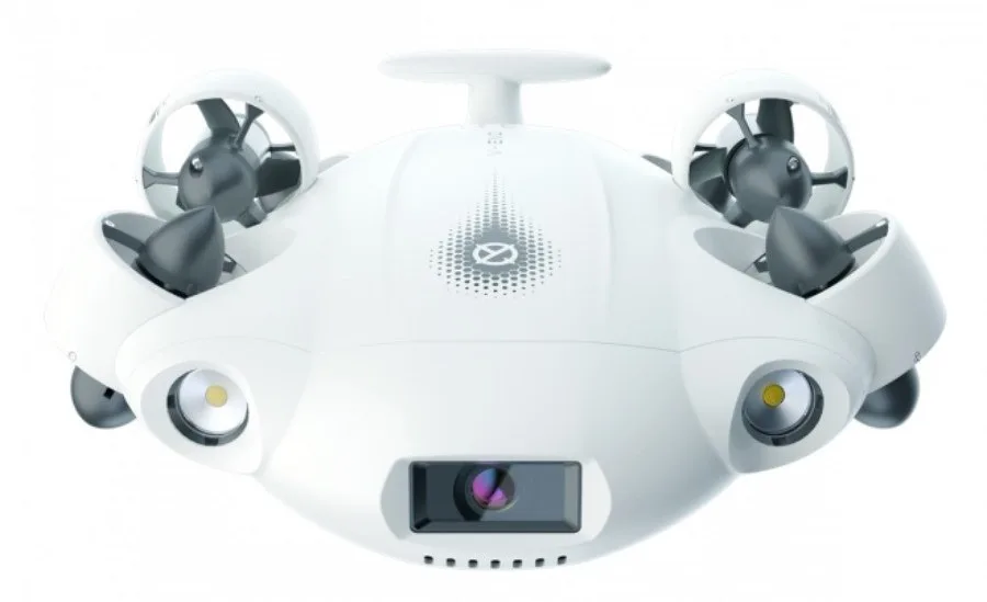
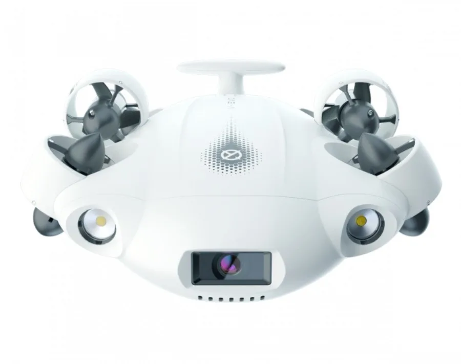 Underwater Drone:
 AM Data Lab Pvt Ltd employs advanced underwater drone technology for precise and efficient subaquatic data collection. These drones are equipped with high-resolution sensors and cameras, enabling detailed exploration and mapping of underwater environments.
Videogaphy(VFX): Visual Effects (VFX) blend live-action footage with CGI to create realistic imagery, enabling scenes that are impractical, costly, or impossible to film. AM Data Lab Pvt Ltd specializes in delivering high-quality 4K videos for highway alignments with precision and clarity.
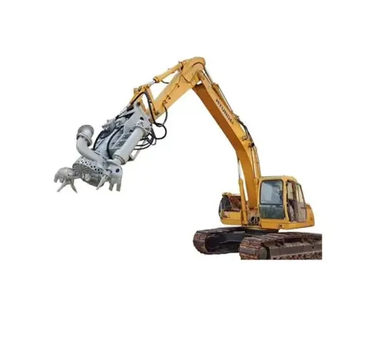
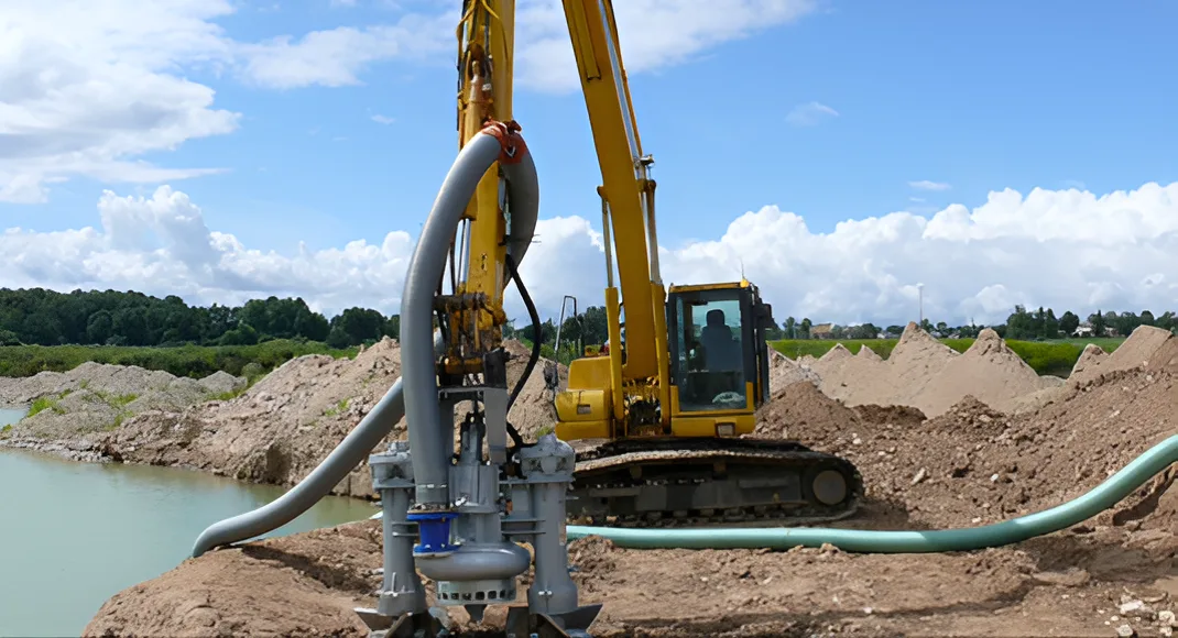
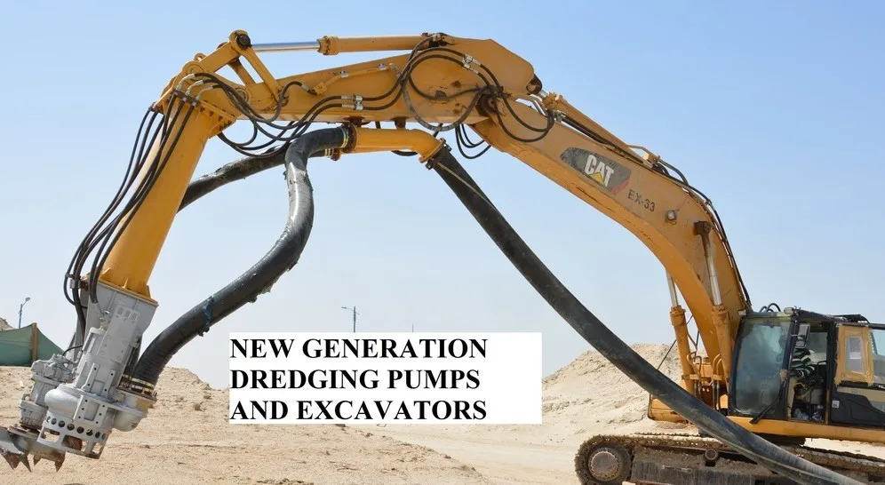
AM Data Lab Pvt Ltd specializes in dredging, removing material from water environments for various
purposes,
including improving water features, enhancing drainage and navigation, constructing dams and shore
controls,
and recovering valuable minerals or marine resources.
OUR OBJECTIVES

Drone-based visual and thermal inspections for factories and industrial plants.
Read More
Data acquisition for claims inspection and risk engineering using drones.
Read More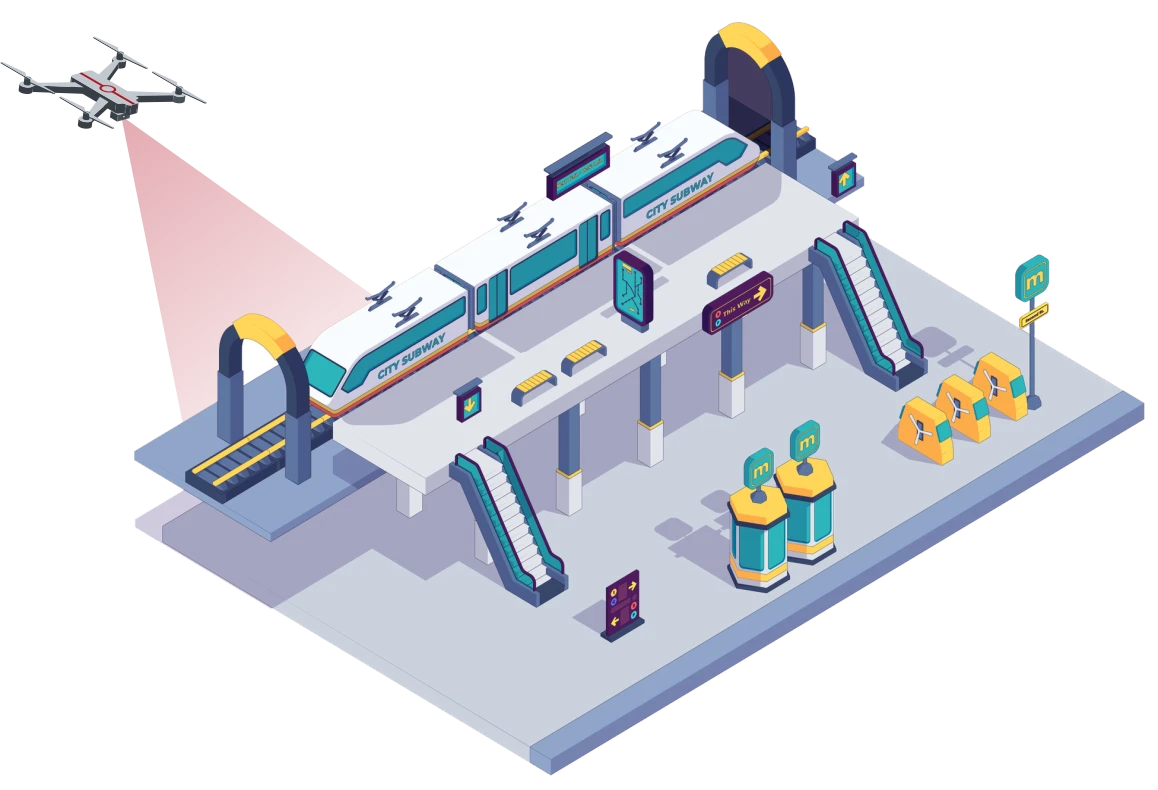
Drone solutions for topography mapping, alignment fixing, and progress monitoring.
Read More
Drone solutions for topography mapping, alignment fixing, and progress monitoring.
Read More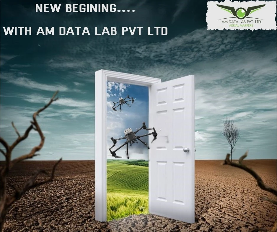
Precise Data
Less Time Consuming
Cost Effective
Increased Safety
Strong Domain
Data Analytics


Feel free to contact us in case of any queries.
AM DATA LAB PVT LTD,
Flat No-1,Amrapali apartment,Right Bhusari Colony, Kothrud
Pune-411038
hr.amdl2024@gmail.com
+91 9665828649
Mon-Sat 9:30am-6:30pm